Peakle geography categories
Six early geography mountains use different rulers: area, length and population. Check the definition before comparing names.
Updated 2026-10-25
- #13 biggest islands — Greenland, then New Guinea. Not Australia.
- #11 longest rivers — Nile 6,650 km and Amazon 6,400 km on one column. Other surveys swap them.
- #10 largest cities — agglomeration versus city proper.
- #9 biggest lakes — Caspian Sea 389,000 km² if it counts as a lake, then Superior.
- #4 US states by size — Alaska 1,723,337 km² total area, then Texas.
- #2 US cities — New York 8,584,629 on the 2025 city-proper estimate I recorded. I did not copy the rest of that list.
- #25 US state admission — year of admission, not the exact day. Hawaii and Alaska are both 1959; Arizona and New Mexico both 1912.
Issue 2 is thin on purpose. I had a single checked population for New York and I refused to fill Los Angeles from memory. The replay page says so. A geography climb dies when two definitions share a name: metro and city, land area and total area, Nile-with-Kagera and Nile-without.
A definition checklist before a geography replay
Start with the kind of object. The island-area source separates continental landmasses from islands, so its Greenland ranking is not contradicted by Australia being larger. The lake source includes the saline Caspian Sea; a freshwater-only list would answer a different question. A river-system length may include named tributaries and headwaters, so replacing a whole system with the length of one named river changes the measurement. These are inclusion decisions, not small rounding differences.
Next check boundaries. An urban agglomeration can extend beyond the administrative city, while a city-proper population stops at that boundary. Total state area includes water; land-only state area does not. Do not compare an agglomeration for one city with an administrative count for another, or square kilometres with square miles. A shared place name is not proof that two numbers came from the same definition.
Finally choose a source column and keep it fixed. The river notes identify competing measurements rather than declaring a universal winner. The city notes identify which population estimate is being compared. The state and island notes identify the area convention. If the public game does not expose its exact source revision, these references can explain the likely traps but cannot certify a submitted answer. Use the individual replay guide for the relevant source, not an attractive number remembered from a different geography mountain.
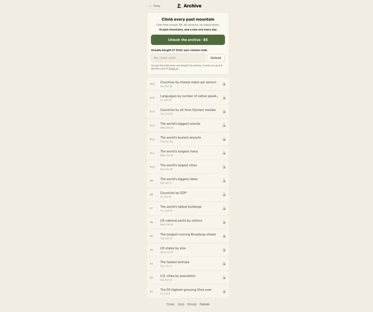

Cross over to country categories when the row is a state name with an economic unit, and read Peakle strategy before you reuse a river length you half remember.
Questions people ask
Is Australia the biggest island in issue 13?
No. On the area list I used, Australia is treated as a continent. Greenland, at 2,108,459 km², leads the islands.
Which city figure does the issue 10 reference use?
The research compared UN 2025 urban agglomerations. Jakarta leads that column at 41,913,860. City proper is a different number, about 10.2 million for Jakarta. The locked game values were not confirmed.
Sources
The Updated date on this page is the day these facts were checked against the linked pages. Reference values from public tables are not a copy of the game's scored list.
Wikipedia reference tables are attributed to the linked articles and their contributors under CC BY-SA 4.0. We select rows, shorten names and sometimes round values; adapted table content is shared under the same license. See the source article history for revisions.