Mon, Oct 19, 2026 · Geography
Peakle #11: The world's longest rivers
One published length column. The game may use a different survey.
Updated 2026-10-19
Issue #11 (Mon, Oct 19, 2026) uses the category “The world's longest rivers.” I group it under Geography. The public source I used is Wikipedia river lengths. Unit: km.
Difficulty: Hard at the top because Nile and Amazon lengths are disputed. The spread I can defend from that source: Common column: Nile 6,650 km, Amazon 6,400 km. Alternate measurements swap them.
How I would climb it
- Pick one published column and stay on it.
- Do not treat "the Nile is always first" as a rule. Some measures put the Amazon first.
- Yangtze 6,300 and Mississippi 6,275 are a dangerous late pair.
Treat a river-system label and its measurement convention as a pair
The independent public reference uses one published river-length column in kilometres. Its rows describe river systems, often with several linked river names, rather than necessarily the single named channel a player recalls from a map. Rio de la Plata at 4,880 km is a lower anchor in the recorded group, Yenisey at 5,539 km an intermediate anchor, and Nile at 6,650 km the upper anchor on the chosen figures. The public page also records alternate measurements, and different source or mouth conventions can change a length. This reference ordering therefore does not establish that the Nile must lead every survey or the replay's stored dataset.
The selected Nile value exceeds Amazon's 6,400 km by 250 km. Yangtze at 6,300 km exceeds the recorded Mississippi system at 6,275 km by only 25 km. Mississippi followed by Yangtze is a valid strict increase on that column, not a loss caused by numerical closeness. The source's long Mississippi label includes tributaries, so replacing its system length with a remembered main-channel measurement would no longer be the same comparison. Likewise, choosing an alternate Amazon measurement while leaving the Nile on the original convention would mix incompatible assumptions. Exact subtraction cannot repair a mismatch in what the endpoints or the row names actually mean.
For preparation, keep the full source-system label beside the short name, record the kilometres column, and note when the cell presents an alternative in parentheses. Check the replay's source line before treating any alternative as its intended value. The recorded Ob-Irtysh and Rio de la Plata labels are useful identity clues, but ASCII transliteration or a shortened river name here is not evidence of an accepted game alias; inspect the selector's actual entity. A multistep river climb is an optional target. If the game uses this selected convention and recognizes the reference maximum, the Nile can be chosen first to reach the summit. Otherwise, resolve the measurement convention before promising a finish from general geographical memory.
The public archive confirms the date and category for #11. The figures below come from the named public reference, not a purchased replay. A reference number does not establish the game's accepted spelling, exact stored value or source revision.
Reference head of the list
| Name | Value |
|---|---|
| Nile | 6,650 km |
| Amazon | 6,400 km |
| Yangtze | 6,300 km |
| Mississippi | 6,275 km |
| Yenisey | 5,539 km |
| Yellow River | 5,464 km |
| Ob–Irtysh | 5,410 km |
| Río de la Plata | 4,880 km |
One published length column. The game may use a different survey.
Read the pattern again on the geography category guide, the archive overview, and how to play Peakle.
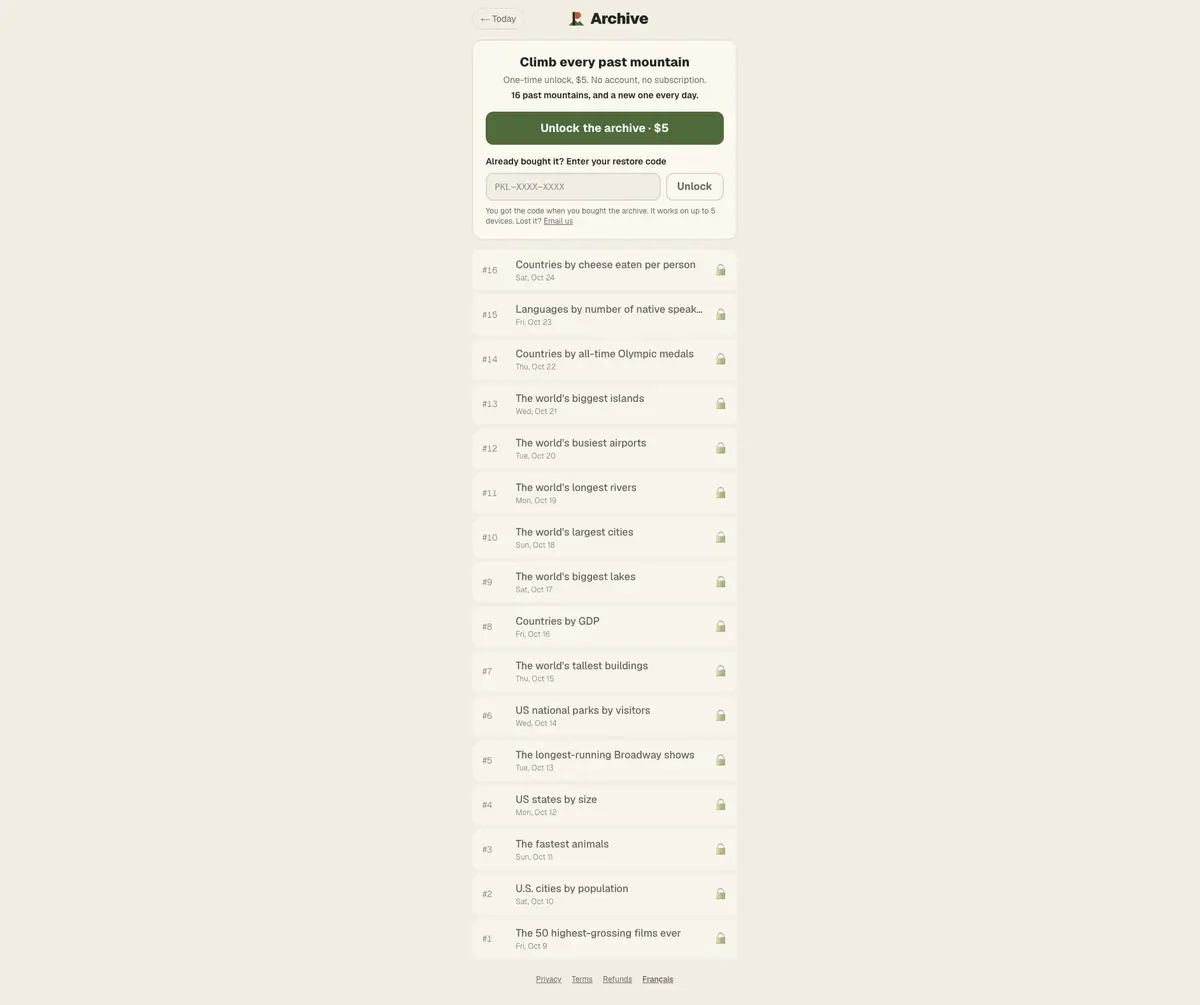
Previous mountain: Peakle #10 (The world's largest cities).
Next mountain: Peakle #12.
Questions people ask
What was Peakle #11?
On 2026-10-19 the category was “The world's longest rivers.”
Are these the official scored answers?
One published length column. The game may use a different survey.
Sources
The Updated date on this page is the day these facts were checked against the linked pages. Reference values from public tables are not a copy of the game's scored list.
Wikipedia reference tables are attributed to the linked articles and their contributors under CC BY-SA 4.0. We select rows, shorten names and sometimes round values; adapted table content is shared under the same license. See the source article history for revisions.